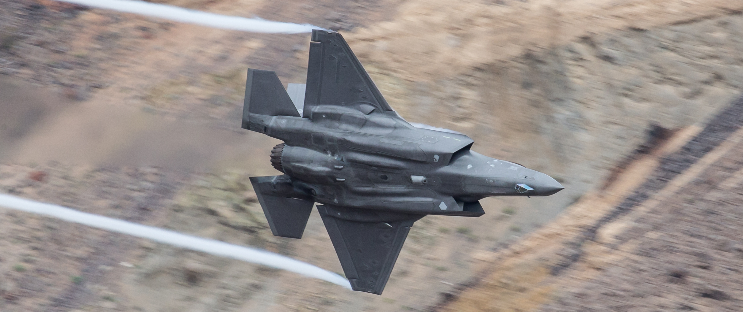
Military Training Routes, such as Instrument Routes (IR), Visual Routes (VR), and Slow Routes (SR), are a critical component of our military forces aerial training and operations. These routes are frequently used for training for all aspects of military flight from initial pilot training, aircraft testing and evaluation, and operational mission training enroute to live fire facilities.Our studies help predict DoD areas of concern, depict potential risk areas for project siting, and support readiness for DoD engagements.
Tall structures, such as wind turbines, have the potential to interfere with low level training. Using information derived from public sources, Capitol Airspace can assess existing and planned obstacles, denote critical distances to route boundaries and entry/exit points, and identify exclusion areas and noise avoidance areas. Capitol Airspace can then evaluate the potential project impacts to military airspace and determine areas of risk based on the analytic results. These studies are a valuable resource in preparing for formal or informal discussions with the Department of Defense (DoD) and affected services.